Atlantis and the Silver City (59 page)
Read Atlantis and the Silver City Online
Authors: Peter Daughtrey

The remains of an old canal in front of Estombar, only a few kilometers west from the flood plain. It continues a short distance to the west until it meets the River Arade estuary.
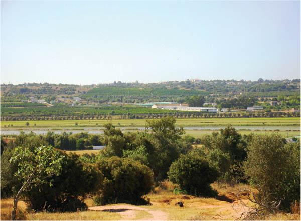
A small section of the old floodplain adjacent to the town of Lagoa. Photographed when part was flooded to grow rice.
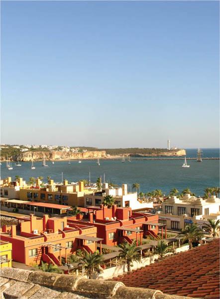
The entrance to the River Arade estuary.
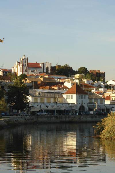
Silves from the river as it meanders up to the town from the south.

Silves from the north.
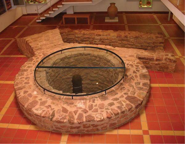
The ancient well in Silves that dates from the Moorish occupation, in the position indicated by Plato for a water supply created by Poseidon. The town’s museum has been constructed around it, just below the castle and the cathedral.
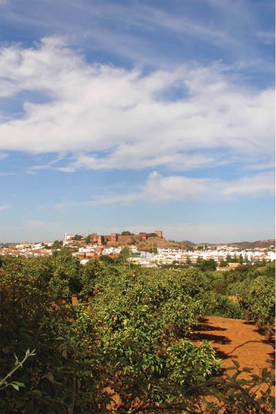
Silves seen across the plain from the east.

Silves’ ancient town gate in red sandstone with black, white, and red stone paving in front of it.

Silves’ ancient town gate in red sandstone with black, white, and red stone paving in front of it.
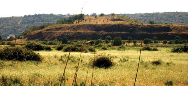
The remnants of the outer embankment seen from the position of the inner one. (ie., closer to Silves). The area between was filled with seawater and the ancient harbor was the other side of this outer embankment.
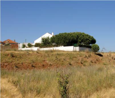
The remains of the inner embankment.
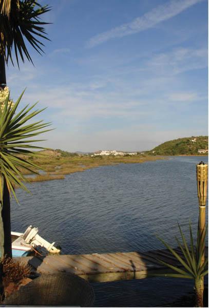
At the point downstream where the River Arade would have entered the old harbor area on the left, with the outer embankment just beyond it. Silves is visible about two kilometers in the distance.
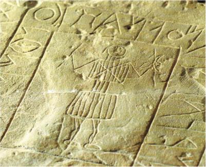
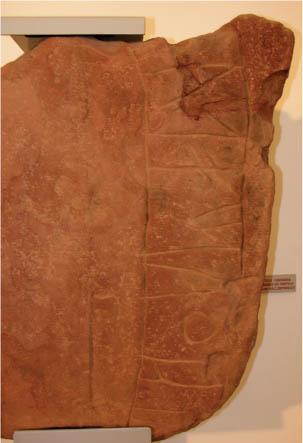
A stone originally erected in memory of a warrior, engraved in the local “southwestern script.” Note the unusual depiction of the deceased with a crude indication of the Libyan side lock. (Museu da Escrita do Sudoeste, Almodôvar, Portugal.)
